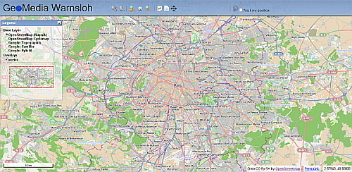
J.M.W. Geo-Consulting map services is launched now. It is a simple with web mapping service with basic functions e .g. measurement of distances and areas, and a geolocation feature.
Geolocation based features and other nifty stuff will be added in the future. (Changes will be announced here …)
The map service is based on the OpenLayers API and shows Open Street Map map tiles, as well as Googel Maps tiles for a topographic view and satellite images. Some further javascript code for layout and formatting of the site is taken from the Dynamic Drive web site.

